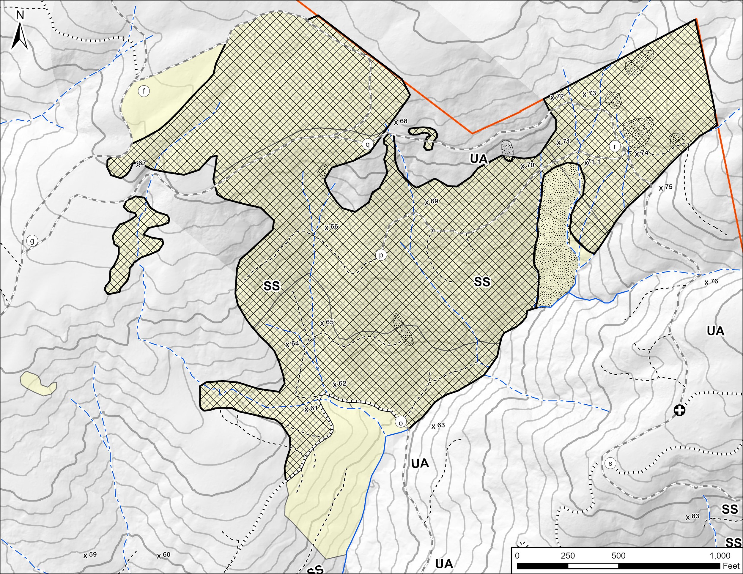
GIS Mapping
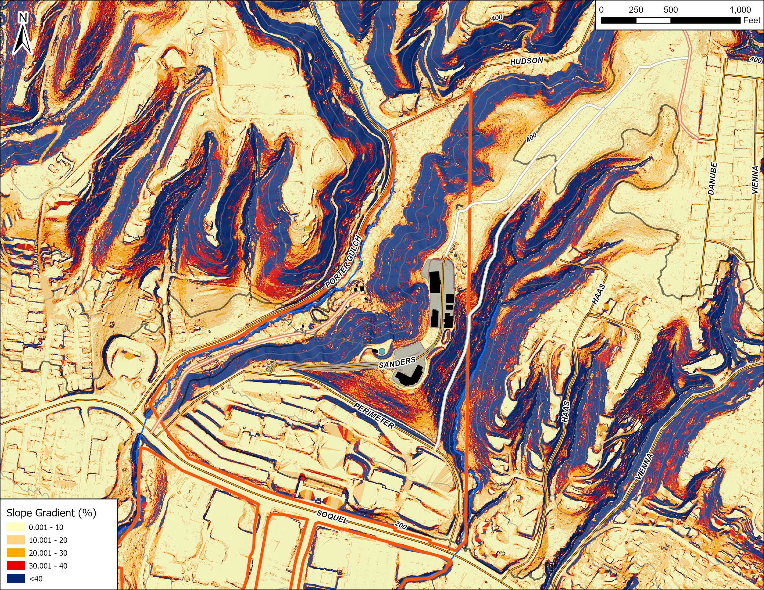
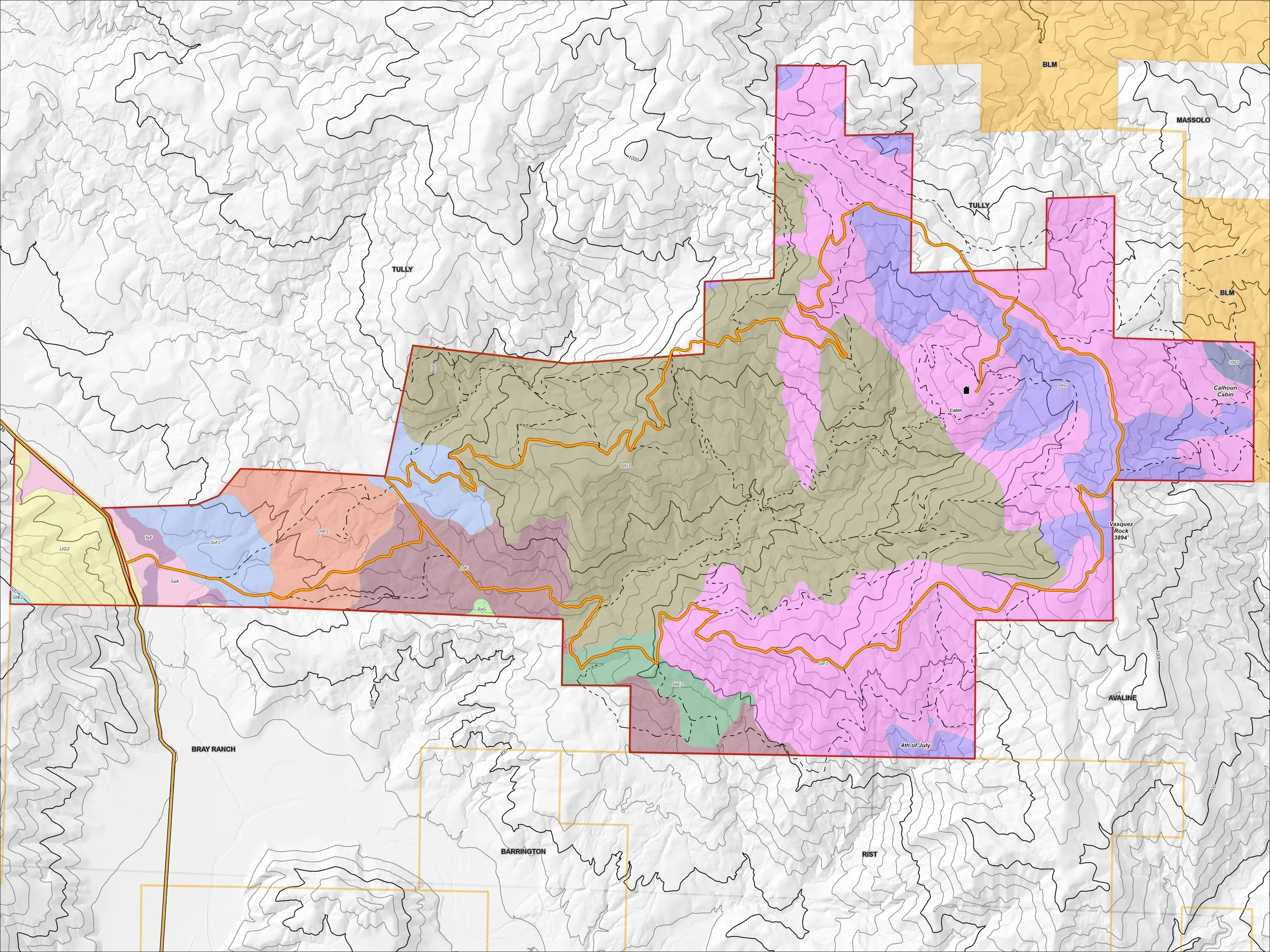
Accurate and clear mapping is an essential component of effective natural resource management. We take pride in producing professional GIS maps and spatial datasets that support informed decision-making, regulatory compliance, and project planning. Whether as part of a larger management or permitting effort, or as a standalone mapping project, we develop high-quality cartographic products tailored to each client's specific needs.
We utilize a variety of GIS technologies, including ESRI products, QGIS, Google Earth, and other geospatial tools to create custom maps, conduct spatial analyses, and develop accurate datasets for a wide range of natural resource applications.
In addition to digital, georeferenced, and print-ready map products, we develop custom spatial data files that facilitate collaboration and information sharing among landowners, agencies, contractors, and project partners.